Location
Tracking the location of devices has been around for a while. When it comes to location, GPS technology springs to mind, however this time we are talking about GSM geolocation. Its major advantage compared to using GPS tracking is that it works well indoors and in bad weather too.
So what is GSM geolocation? Simply put, it’s a way to localize GSM-capable clients, such as smartphones, trackers, or monitoring modules, based on approximated distances to nearby cell towers.
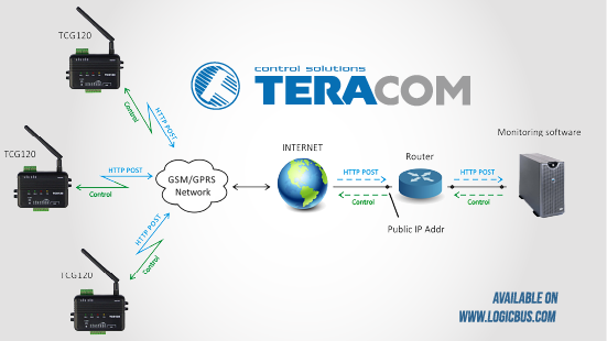
With the expansion of GSM technology, telecoms around the world developed cellular networks and provided coverage that made GSM geolocation quite reliable. GSM tech means that you need a device with a SIM card to connect to a cellular service provider via its cell towers (or simply cells). The cell towers are the access points to cellular networks.
They are like antennas that broadcast the signal and GSM devices in proximity connect to them. Signal strength depends on the distance of a mobile device to a nearby cell – the closer to the tower, the better signal you get.
Signal
The signal of a cell surrounds its antennas like a sphere, with the tower at the center of the sphere. If you consider all towers on a map, the signal of each is represented as a circle, and when in radius, every mobile phone connects to the respective tower. Normally, a device uses the closest cell for communication but exchanges data with all cells in the range.
The signal strength to each nearby tower at a given time allows calculating the device proximity to each cell in the range. Remember that even the earliest cell phones had a signal strength indicator? This was helped users not drop phone calls when connectivity was poor. This correlation between signal strength and device-to-cell proximity is how GSM devices are localized using GSM location.
If you draw a circle around each cell tower, with a radius corresponding to device signal strength, these circles intersect with one another.
The intersection area represents an accurate approximation of where the device is. This model of localizing is called trilateration and is the underlying principle of GSM geolocation. Since data is constantly updated, this methodology allows GSM geolocation to work well when the device is in motion.
Of course, since GSM geolocation uses approximation for localization, it’s not like you can pinpoint a device. GSM geolocation is considered to be less accurate than GPS geolocation but is more reliable. Its accuracy does depend on network coverage. To some degree, a dense network makes it more accurate. However, in crowded places such as big cities, additional factors like reflections and interference.
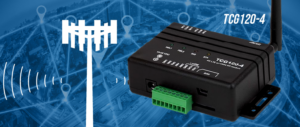
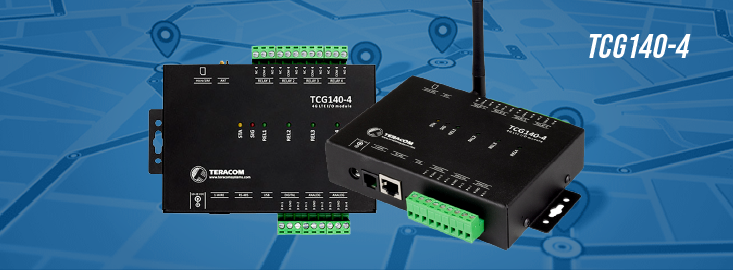
The Teracom devices that support GSM geolocation are TCG120-4 and TCG140-4.
Visit our website:
www.logicbus.com


sales@logicbus.com | support@logicbus.com | +1 619 616 7350 | Start conversation

